Cutting-edge Mapping Solutions for Infrastructure Development
Several mapping solutions are available to assist with the planning of infrastructure development, ranging from traditional methods to advanced geospatial technologies. These solutions may assist urban planners at various stages of the infrastructure development process.
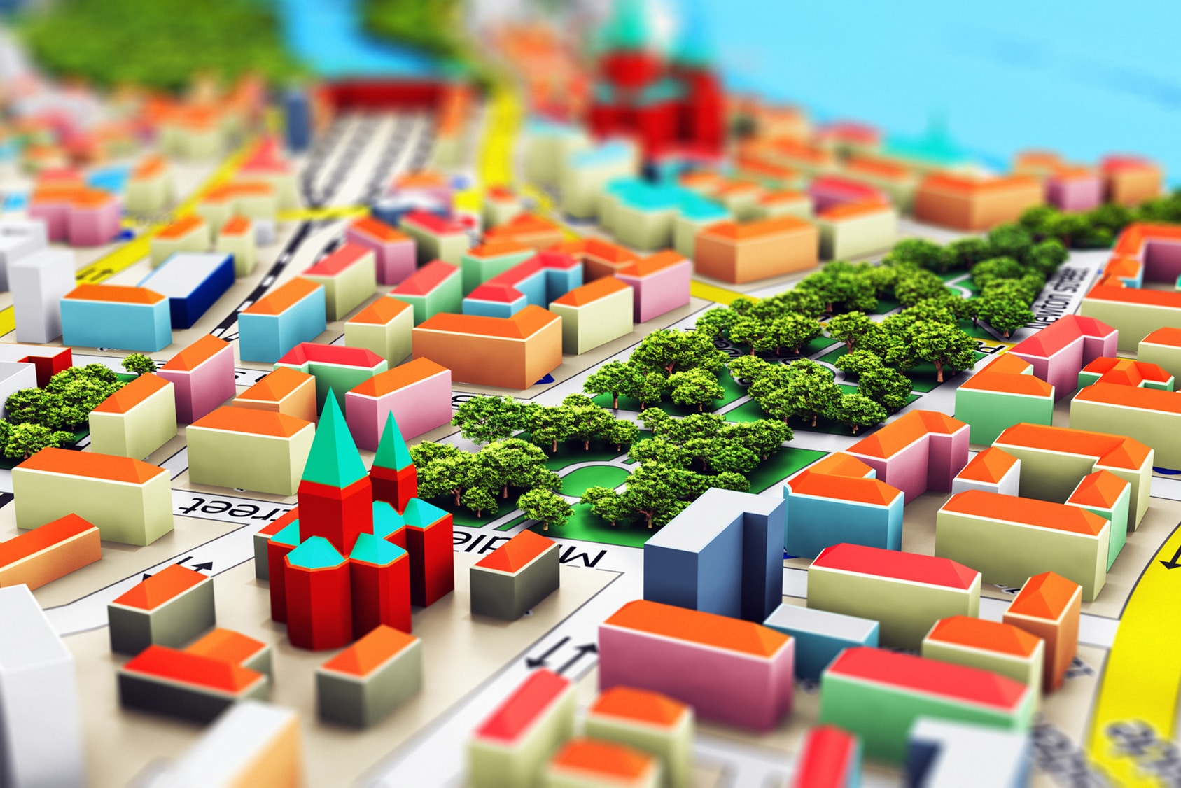
Innovative Mapping Tools at the Urban Planner’s Disposal
- One of the most powerful tools includes geographic information systems (GIS). GIS captures, stores, analyses, and presents geographical data. It allows infrastructure planners to create maps, overlay different datasets, and analyse spatial relationships. GIS is widely used for infrastructure planning as well as other spatial and environmental purposes.
- A global positioning system (GPS) uses a network of satellites to determine precise locations on the Earth’s surface. GPS is commonly used for mapping and surveying target areas during the infrastructure development phase of a project. GPS helps to locate project features and enables the proper alignment and positioning of infrastructure elements.
- Light Detection and Ranging (LiDAR) is a type of remote sensing technology that uses laser sensors to measure distances and create highly detailed 3D maps. LiDAR is used extensively in terrain mapping, creating elevation models, and capturing the built environment. LiDAR data identifies suitable alignments, detects obstacles, and provides volumetric measurements.
- Building Information Modelling (BIM) is a collaborative process that combines 3D modelling, data management, and data visualisation for infrastructure design and construction. It enables the creation of intelligent digital models that represent the characteristics of the infrastructure elements under consideration. BIM improves project visualisation, facilitates better coordination among stakeholders, and enhances decision-making.
- Augmented Reality (AR) and Virtual Reality (VR) technologies provide immersive visualisation experiences that aid in infrastructure planning and design. These technologies allow stakeholders to explore virtual environments, simulate construction processes, and assess the impact of infrastructure elements. AR and VR improve communication and reduce the likelihood of mistakes.
- Mobile Mapping Systems (MMS) combine several sensors, including GPS, LiDAR, cameras, and inertial measurement units. The sensors are mounted on a vehicle or backpack to capture detailed data of the environment through which it passes. MMS is typically used, but not limited to, the mapping of transportation networks and compiling of asset inventories.
Depending on the project requirements and available resources, a combination of these innovative solutions can be utilised to achieve the most optimal results.
Engage with Urban Planners to Use Cutting-edge Technologies
The mapping tools used by The Practice Group allow for an immersive experience at all stages of the planning process. Our technologies allow for extremely precise data collection and, consequently, the production of high-accuracy maps. This gives us the opportunity to plan for the provision of appropriate infrastructure in the exact position to deliver the most optimal outcome. To be a cut above the rest, consult with The Practice Group today.