The Benefits of Mapping Tools in Town Planning
Mapping tools significantly augment the ability of town planners to envision, strategise, and implement solutions for urban spaces. The use of the latest technology amplifies stakeholder involvement and fosters collaborative efforts. These tools facilitate accurate impact evaluations and simplify ongoing monitoring. Mapping improves decision-making, elevates operational efficiency, and substantially refines urban development processes. Transforming urban landscapes involves creating cities that are functional and offer an elevated quality of life for their residents. The technology available plays a crucial role in this transformation by providing valuable insights, and data-driven decision-making.
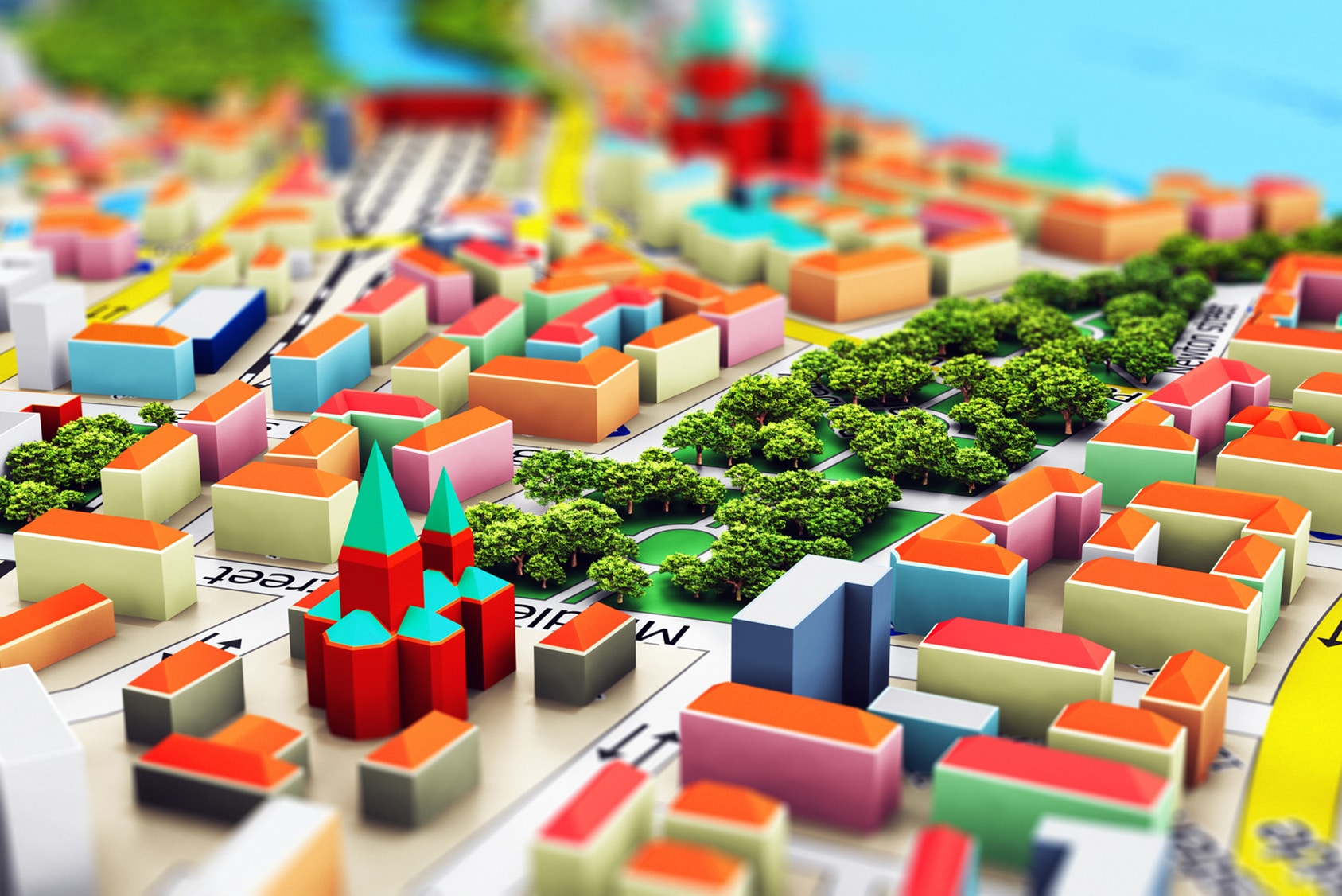
Improved Liveability Using Powerful Mapping Tools
Modern technologies include powerful tools such as Geographic Information Systems (GIS). These tools enable the rapid, accurate, collection, analysis, and storage of spatial data. This data includes information about land use, existing infrastructure, transportation networks, green spaces, and population demographics. Having accurate and current data allows for analysis and modelling, helping urban planners understand existing conditions and identify areas for possible improvement to enhance the experience of the intended occupants of the space.
Accurate data mapping helps town planners optimise infrastructure planning and integration into proposed developments. It assists in identifying suitable locations for utilities, roads, public transportation, and other essential services. By visualising water, energy, and waste management data, the planner can better allocate resources and improve sustainability. The use of mapping tools contributes to informed decisions about commuting routes and modes of transportation, reducing travel time and minimising congestion while making efficient use of resources and improving the liveability of the space.
Mapping helps identify and preserve green spaces, natural habitats, and environmentally sensitive areas enhancing environmental sustainability. It supports and informs the development of sustainable urban designs incorporating green infrastructure. Green spaces and recreational facilities in turn contribute to improvements in residents’ physical and mental well-being. Reductions in pollution, and better ecological balance can be achieved. Accurate data is also crucial for emergency response and disaster management as responders need to navigate to incidents quickly and efficiently.
Mapping tools assist in defining and enforcing zoning regulations, ensuring that commercial, residential, and recreational areas are appropriately separated and do not encroach on each other. It assists in identifying suitable areas for housing development, allowing consideration of factors such as affordability, proximity to jobs, and access to affordable transportation.
Modern Technology Delivers the Best Outcomes
Advanced technologies enable accurate data collection which in the hands of experienced town planners produces optimal outcomes. The Practice Group employs several state-of-the-art technologies to produce spaces with the highest resident well-being outcomes and the least environmental impact. We deliver healthier, more liveable spaces for present and future generations. Get the benefit of our unique blend of experience, expertise, and cutting-edge technology. Contact The Practice Group today.